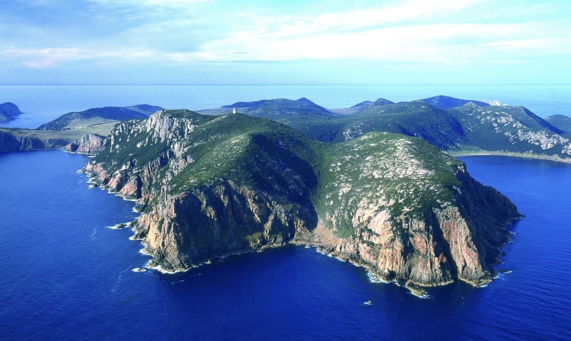

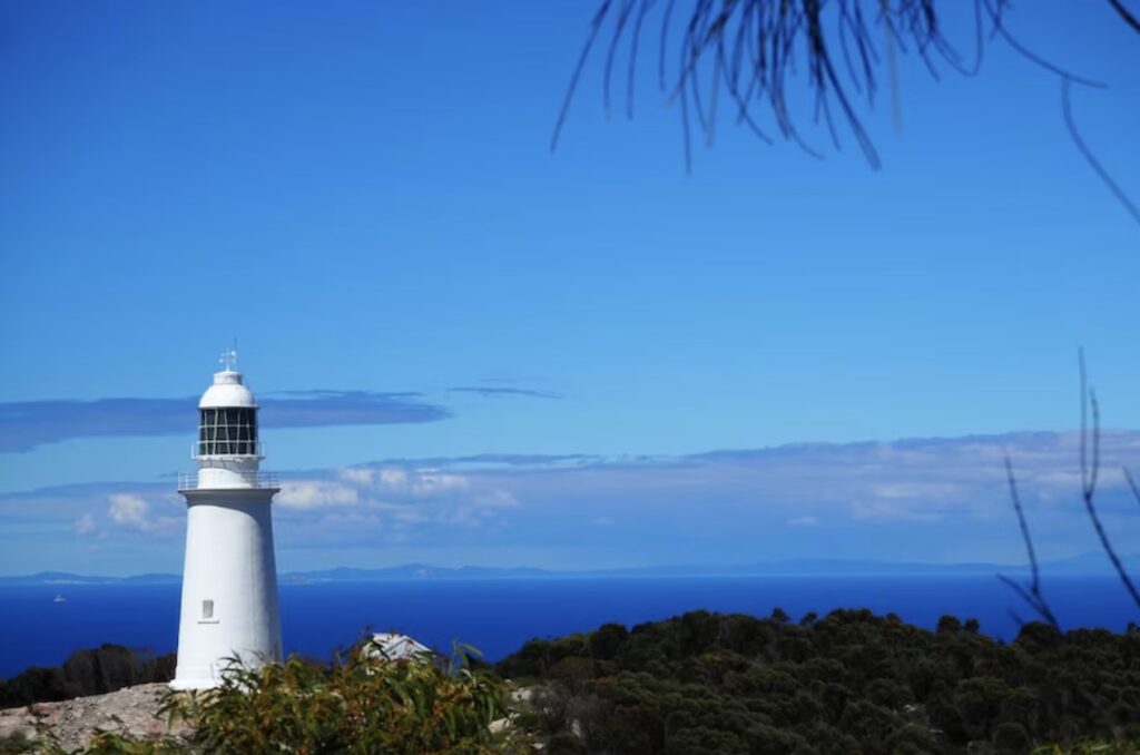
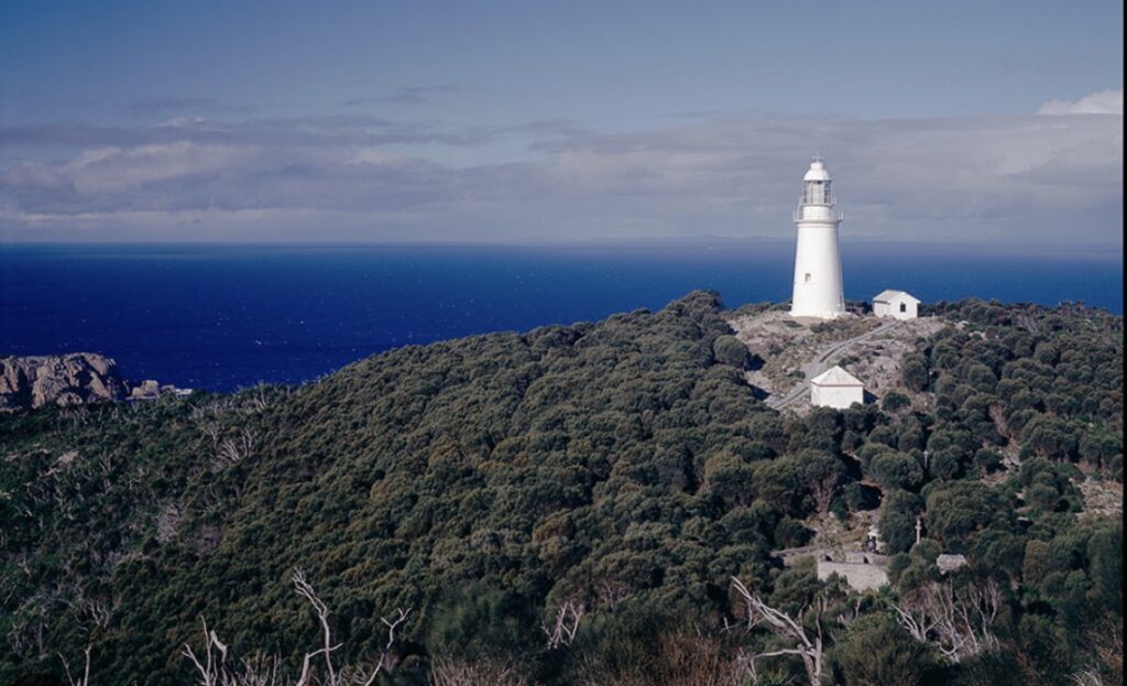
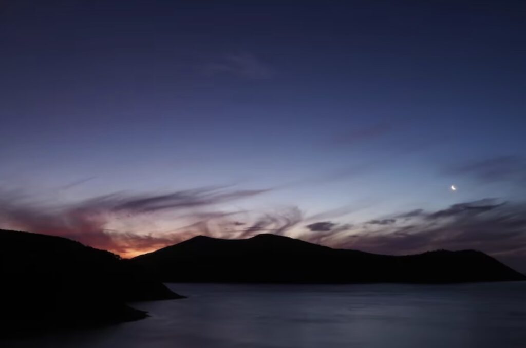
Perched at an extraordinary elevation of 305 meters above sea level, Deal Island Lighthouse stands as the highest lighthouse in Australia and the Southern Hemisphere. Located in the Kent Group National Park in Tasmania, this historic lighthouse has played a crucial role in guiding vessels through the treacherous waters of Bass Strait since its commissioning in 1848.
The lighthouse was a collaborative effort, jointly funded by the New South Wales, Victorian, and Tasmanian Governments as all states had a vested interest in improving maritime safety. Due to the fact that Deal Island is equidistant from Wilsons Promontory (Victoria) and Flinders Island (Tasmania) up until 1926 both Victoria and Tasmanian governments claimed the Kent Group was within their state boundaries, or on occasion, when funds were required each was happy to cede ownership to the other. The issue was finally resolved in favour of Tasmania at the 1926.
Constructed presented significant logistical challenges, building materials and various other supplies were hauled 3 km from the landing site and lifted 280 meters up to the lighthouse location. The construction team of 30 people, including carpenters, masons, and labourers, along with ten bullocks, completed this remarkable engineering feat inside two years.

Throughout its operational history, the lighthouse underwent several technological upgrades. The original revolving catoptric light was replaced in 1921 with an acetylene-operated flashing light. In 1937, a significant modernization occurred with the installation of a first-order revolving lens powered by a 1,000-watt electric lamp and an on-site generating plant. Notwithstanding the technological improvements the one “colonial folly” persisted, the high elevation meant that lighthouse was obscured by low cloud 40% of the time.


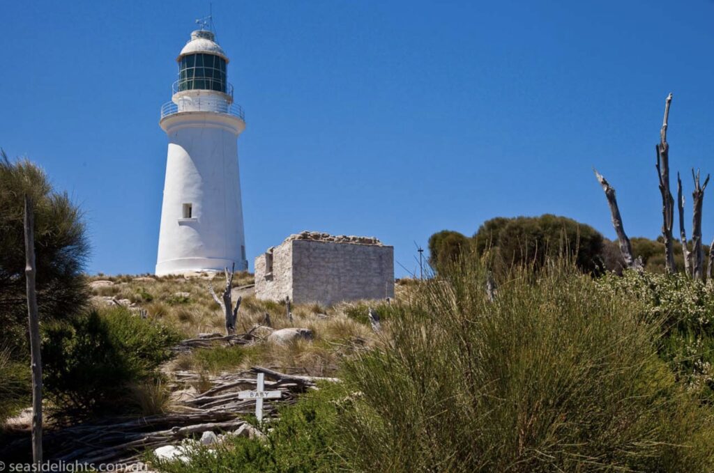
Life at the lighthouse was challenging. Keepers were largely self-sufficient, growing their own vegetables and maintaining livestock. Communication was initially limited, with the only contact being passing ships until a wireless telephone was installed in 1926. Not surprisingly, due to it’s isolation, lack of communications, rugged terrain and extreme weather there were a number of deaths of keepers and their families over the years of opetaion and there are a number of grave sites located on the island, including one that simply states “Baby” on a simple whaite wooden cross.

The lighthouse site experienced several dramatic events, including major bush fires in 1919, 1950, 1986, and 1995, and a tragic RAAF aircraft crash during World War II, and has been the site of numerous shipwrecks, with significant loss of lives, both before and after the lighthouse was operational.
The lighthouse was finally decommissioned on 2 March 1992, ending over 140 years of continuous operation. Since then, various conservation efforts have been undertaken by the Tasmanian Parks & Wildlife Service and community groups to preserve this important historical site.
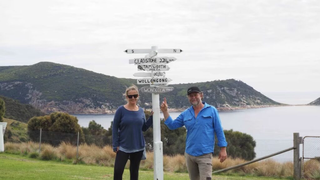
p.s. If you’re so inclined you can volunteer for a six month caretaker stint on Deal Island. The ABC ran a story on one such couple from Adelaide how managed to escape the rest of the World during COVID in 2020. You can see tghis story here: https://www.abc.net.au/news/2020-05-03/coronavirus-isolating-on-deal-island-in-bass-strait/12209102

Technical Details:
First Exhibited: 1848
Architect: Unknown; Construction Officer in Charge: Charles Watson
Markings: White Tower and Lantern
Status: Decommissioned 2.3.1992
Location: Lat: 39° 29’39.5″ S; 147° 19′ 21.1″ E
Original Optic: First-order Chance Brothers Fresnel lens (1888)
Automated: 1921
Construction: Granite cylindrical Tower with balcony and lantern room
Tower Height: 22 m
Focal Height: 305 m
Range Nominal: 24 nml Geographical: 44 km
Character Flashing: Fl (3) W 20s
Responsible Authority: Tasmanian Parks and Wildlife Service
Leave a Reply


")