
Location:
Torres Strait, 50km Norwest of Cape York, Far North Queensland
GPS: Lat: 10° 36.25’S : Long: 141° 54.68’ E
First Lit: 1890 (Automated 1992)
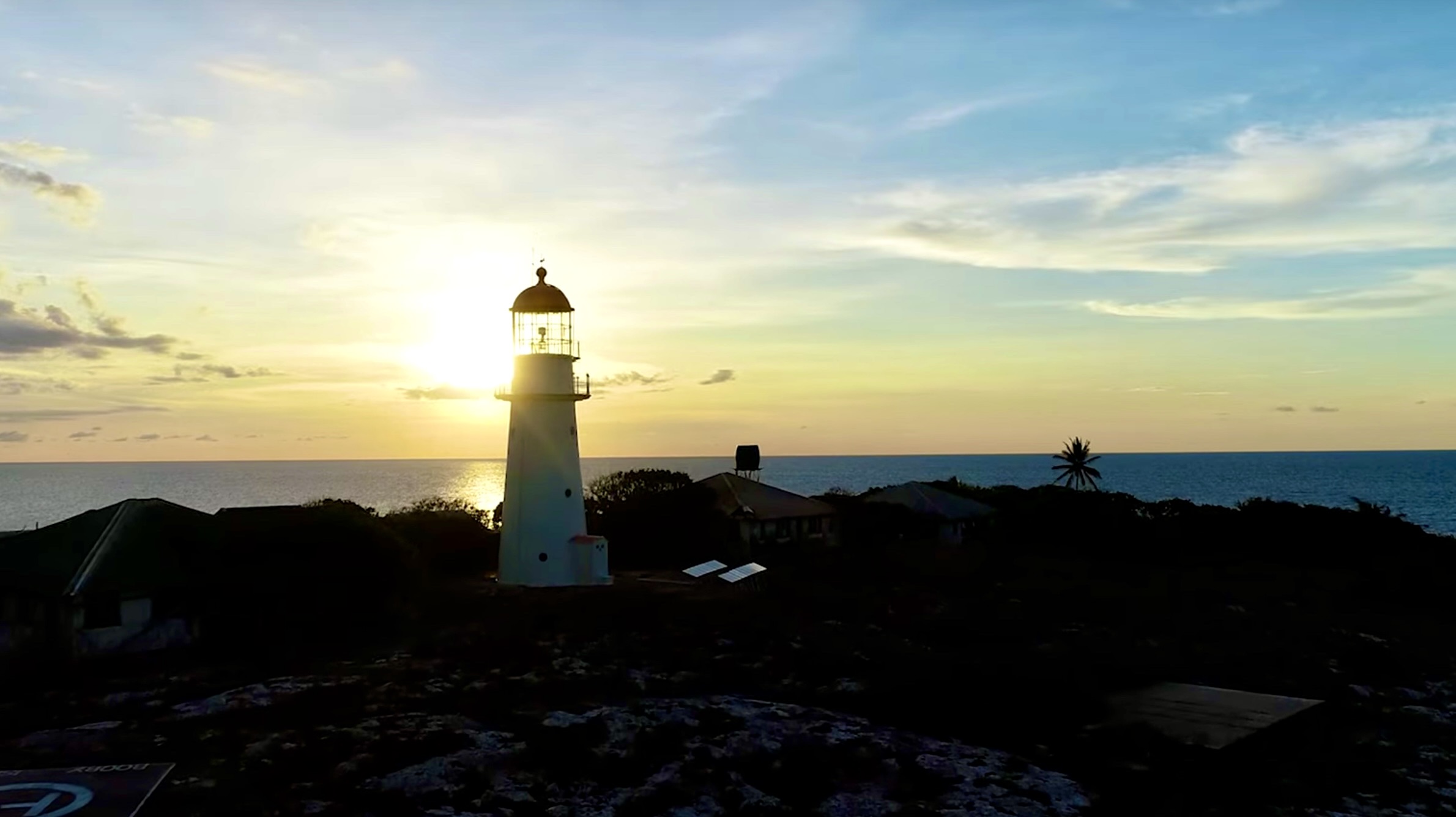
Tower height: 59′ (18m) Focal height: 121′ (37m)
Original lens: 2nd Order Chance Bros. Fresnel
Range: 20nml (37km)
Characteristic: One white flash every 10 seconds [FI W 10s]
History:
Traditional:
Origin Story:
The traditional owners, the Kaurareg people, believed one of their ancestors named Potikain was fishing one day without success when a giant named Ngiangu approached him scaring away all the fish. When the Ngiangu asked Potikain if he could stay he was told he must keep walking out into deeper water. As the water kept getting deeper Ngiangu kept asking if he could stop and Potikain kept telling he to go deeper until just the top of his head was above the water, at which time Potikain said he could stop there. Instantly both men were turned to stone and the island formed by the top of his head bears his name, Ngiangu (also known as Booby Island).
Mythology:
The Kaurareg feel there is a lingering curse associated with Ngiangu that goes back to the time when a young woman was kidnapped and held prisoner on the island in the Purri Purri cave. They believe that from this time on a beautiful young woman will appear and attract passing sailors to the island only to turn into an ugly old witch when they land. The Purri Purri cave is well known and off limits to the Kuarareg people who to this day believe there is an evil spirit associated with this island.
This story is not dissimilar to the myths of mermaids and sirens luring sailors to their demise common amongst European sailors from the 15th to the 18th century.
Please note in researching the history of Booby Island with a number of traditional and long term residents I was made aware of the traditional owner stories and it was suggested that I include these as part of the narrative not only for Booby Island but other lighthouses where there is a relevant indigenous history. I agree and welcome additions and / or corrections to my “Lighthouse Stories.
I also acknowledge and respect the rights of the traditional owners and their reluctance to allow visitors to the island which is why I decided I didn’t need to visit the island to fulfil my mission, after all it is the journey, not necessarily the destination that counts!
European:
First Record:
The first non-indigenous record of navigating these waters was in October 1606 when the Spanish captain Luis Vaez de Torres on leaving Manilla, due to unfavourable winds, took a hitherto unexplored route to the east of New Guinea and navigated the strait that now bears his name. According to Torres’s log he was the first to give Ngiangu a non-indigenous name, Bobo, which was later translated into English as Booby.
Early Visitors:
After charting the east coast of Australia, and almost coming to grief at present day Cooktown Captain Cook navigated his way through the northern barrier reef eventually rounding what he named York Cape (now Cape York) and entering the Torres Strait via what he named the Endeavour Strait. On 22nd August, 1770 Captain Cook raised the English flag on what he called Possession Island and claimed the east coast of New South Wales in the name of King George III. Several days later Cook landed on and named Booby Island to replenish water and catch booby birds for food, and after which he named the island, (unaware that Torres had also given the island the same name all be it in Spanish and 160 years before).
Another notable early visitor was William Bligh in April 1789 on his epic 6,000km voyage after the mutiny on the Bounty. In 1806, as now Governor of NSW and aware of the treacherous waters of the Torres Strait Bligh ordered that provisions be left in a cave on Booby Island for future shipwrecked sailors.
The Indian Pacific Passage:
As the most direct sealane connecting the Indian and Pacific Oceans the Torres Strait, or more specifically the Prince of Wales channel saw increasing shipping from the early 1800’s and the strong currents and winds, and the many islands and reefs resulted in an abnormally high number of shipwrecks. In addition to the provisions left on Booby Island which are reputed to have saved the lives of over 900 shipwrecked sailors, it became common practice for passing ships to leave and collect mail from the same cave which became known as the Post Office cave, Australia’s first offshore Post Office.
The Lighthouse:
The Queensland Portmaster, Commander George Heath first recommended a first order light be installed on Booby Island in 1873, however this recommendation was not followed through on and it was not until 1885 that Heath’s recommendation was acted on and it took a further four years until tenders were called in 1889. The successful tenderers were John and Jacob Rooney of Maryborough (who also successfully tendered for a number of other Queensland lighthouses including Sandy Cape, Cape Bowling Green, Cape Capricorn and Lady Elliot Island).


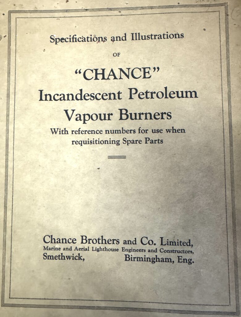
The Booby Island Light was first exhibited on 24th June, 1890 and the construction of the 18m lighthouse and the three lighthouse keepers residences and associates out buildings cost £ 6,500. The original lens was a second order Chance Bros Fresnel lens, and the original light source was a 20,000cd oil wick burner. This was upgraded to a 120,000cd vaporised kerosene mantle in 1917.
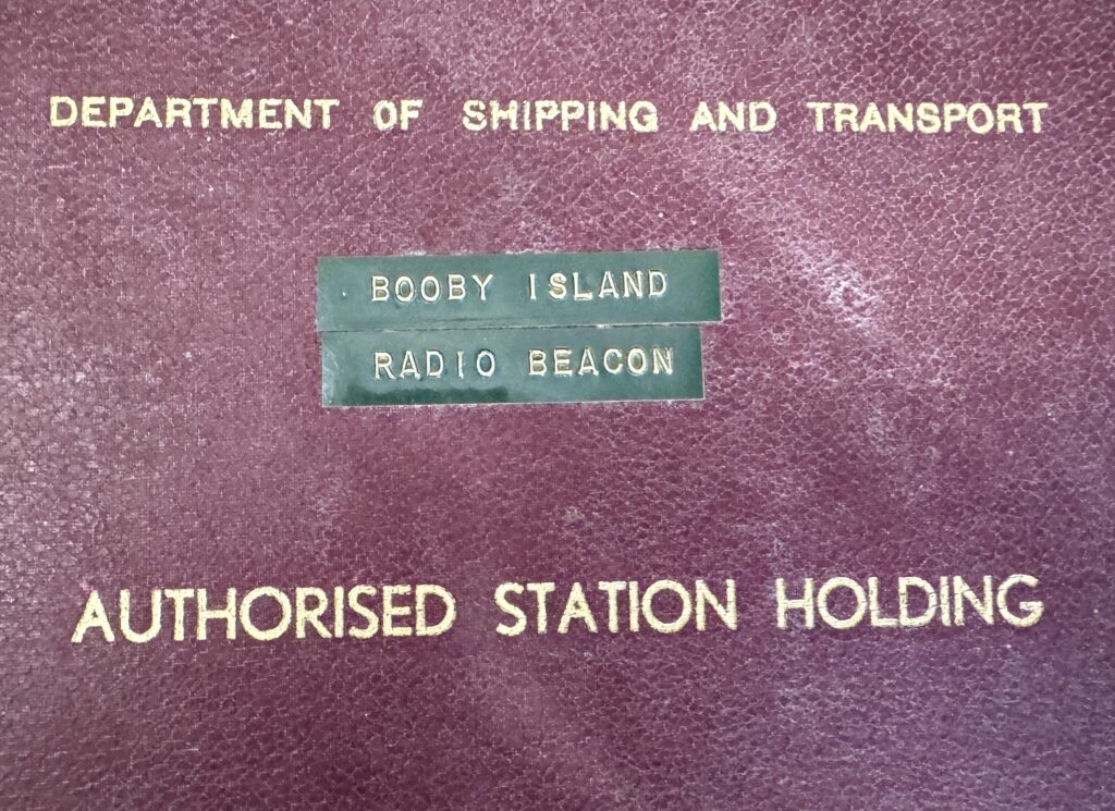
In 1961 a radio beacon was installed and the light source was again upgraded to an electric 1,000,000cd 1,000 watt tungsten-halogen lamp with a light characteristic of one flash every four seconds.
In November 1991 the power source was converted to solar, the original lens and pedestal were removed, the mercury drained* and the entire apparatus replaced with a modern rotating mechanism, and the light characteristic changed to one white flash every 10 seconds (FI.W.10s). The light was fully automated and unmanned in 1992. The original lens and pedestal are on display at Green Hill Fort on Thursday Island.
(* It is now understood that the high level of insanity associated with lighthouses keepers may have been as a result of mercury poisoning as much as the long held belief it was due to loneliness and isolation).

Notable Keepers and Visitors:
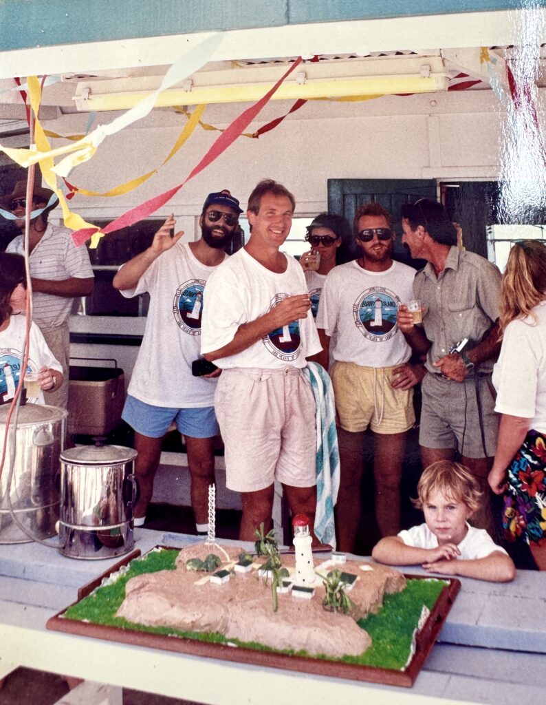
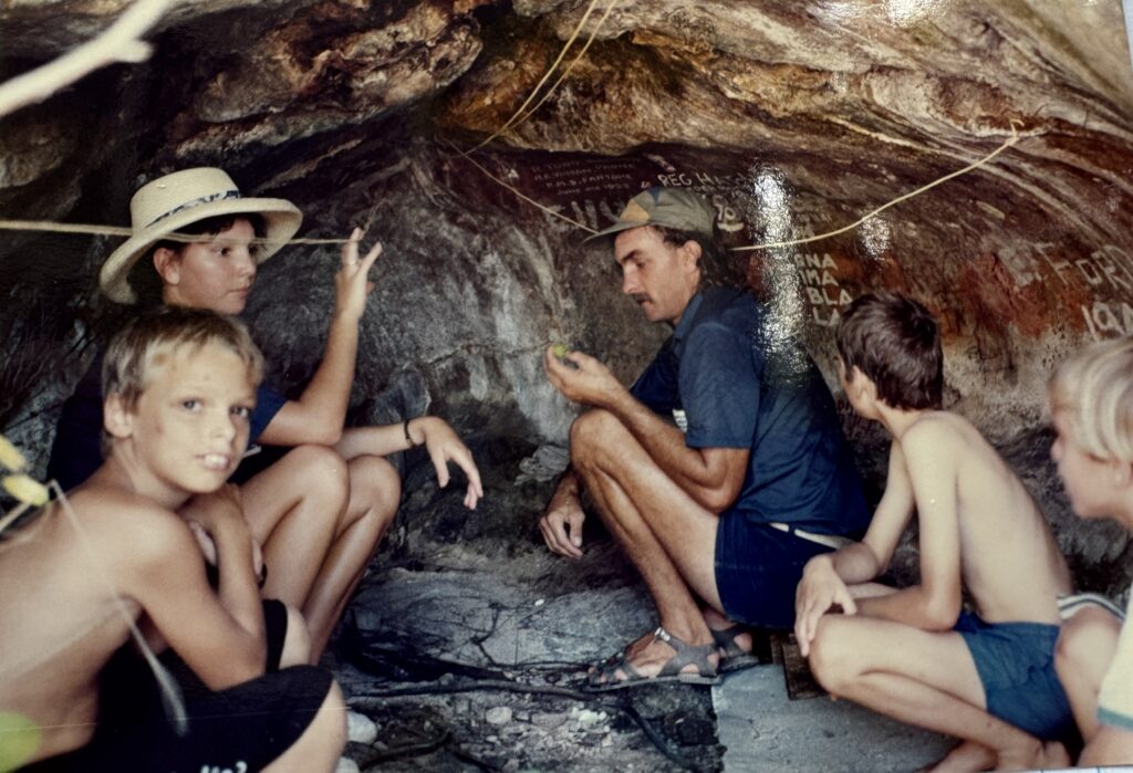
I am still collating information on Booby Island lighthouse keepers and will add to this section as more information becomes available. However I was fortunate enough to be introduced to Christine Connor who is a multi-generational resident of Thursday Island and who’s family originally built pearling luggers for the Torres Strait pearling industry and who now operate the Peddells’s Torres Strait ferry service. Christine has a close association with the traditional owners and a personal connection with Booby Island in that she use to spend her school holidays visiting with various lighthouse keepers children and has kindly provided copies of some photos of the centenary celebrations in 1990 and of the post office cave.
Current Status:
The Booby Island Lighthouse was listed on the Queensland Heritage Register in 1998 and is currently operated by the Australian Maritime Safety Authority (AMSA) and the site is managed by the Queensland Parks and Wildlife Service.
The lighthouse continues to play an important role in the safe transit of up to 4,000 shipping movements a year through the Prince of Wales channel, the most direct route between the Indian and Pacific oceans.
There are a number of lesser lighthouses and light stations in the Torres Strait including Goods Island, Eborac Island off Pajinka (the tip of Cape York) and Albany Rock but to my mind these are lesser lights.


Leave a Reply


")