

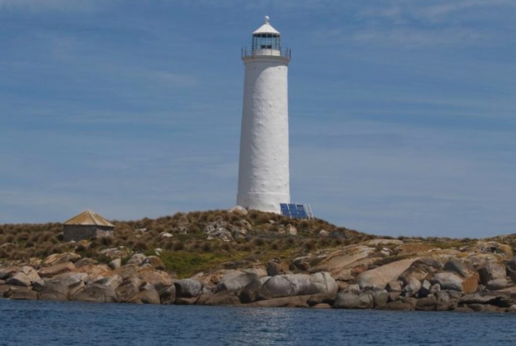
Positioned in eastern Bass Strait, Goose Island Lighthouse stands as a critical navigational beacon, marking one of Tasmania’s earliest colonial lighthouses. Commissioned in 1846, the lighthouse plays a vital role in guiding vessels through the treacherous waters of the Furneaux Group, working in conjunction with nearby lighthouses to create a comprehensive maritime navigation network.
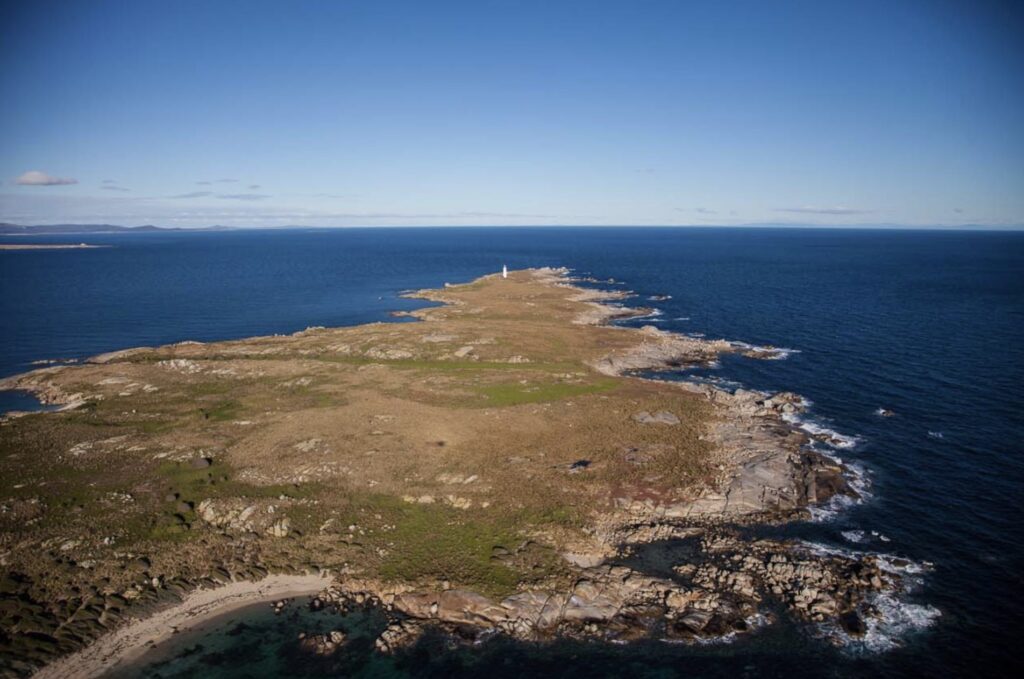

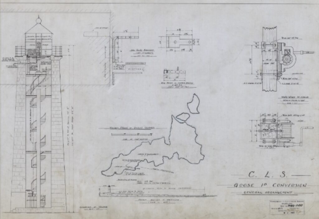
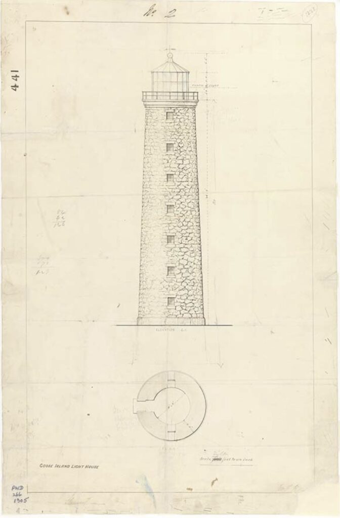
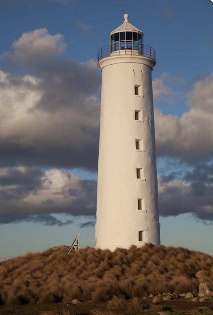
Designed by Colonial Architect Alexander Dawson, the lighthouse features a distinctive circular stone tower rising 15 meters high. Built from locally quarried granite blocks, the structure demonstrates remarkable durability, withstanding over 175 years of Bass Strait’s harsh maritime conditions. Its strategic location provides a light visible for approximately 17 nautical miles, offering crucial warning to vessels navigating the dangerous surrounding reefs.

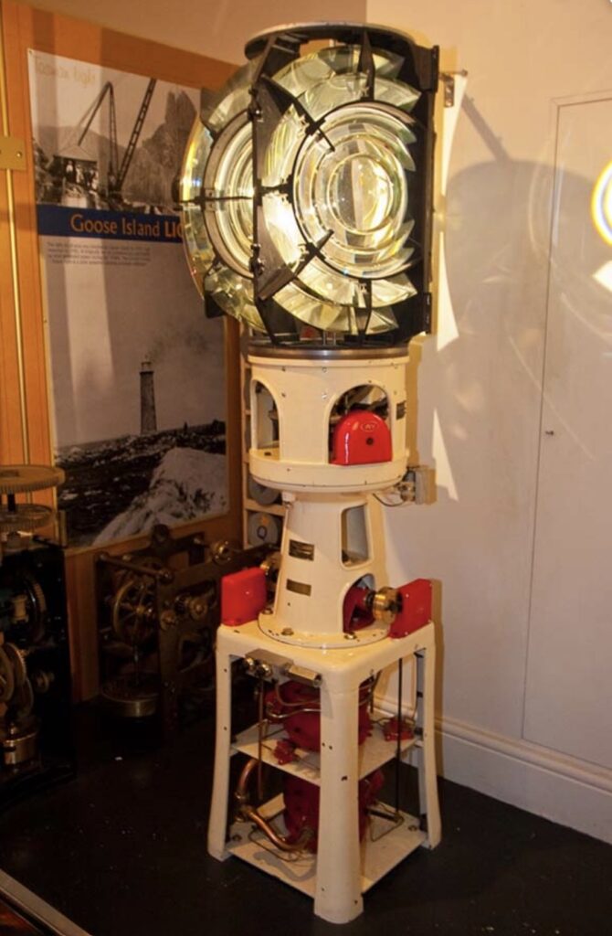
The lighthouse’s technological evolution reflects the changing maritime technologies of its time. Initially equipped with oil lamps and reflectors, it transitioned through various light sources including whale oil, colza oil, and kerosene. In 1931, it was automated with acetylene gas, and later converted to solar power in the 1990s, completing its transition to a fully autonomous navigational aid.
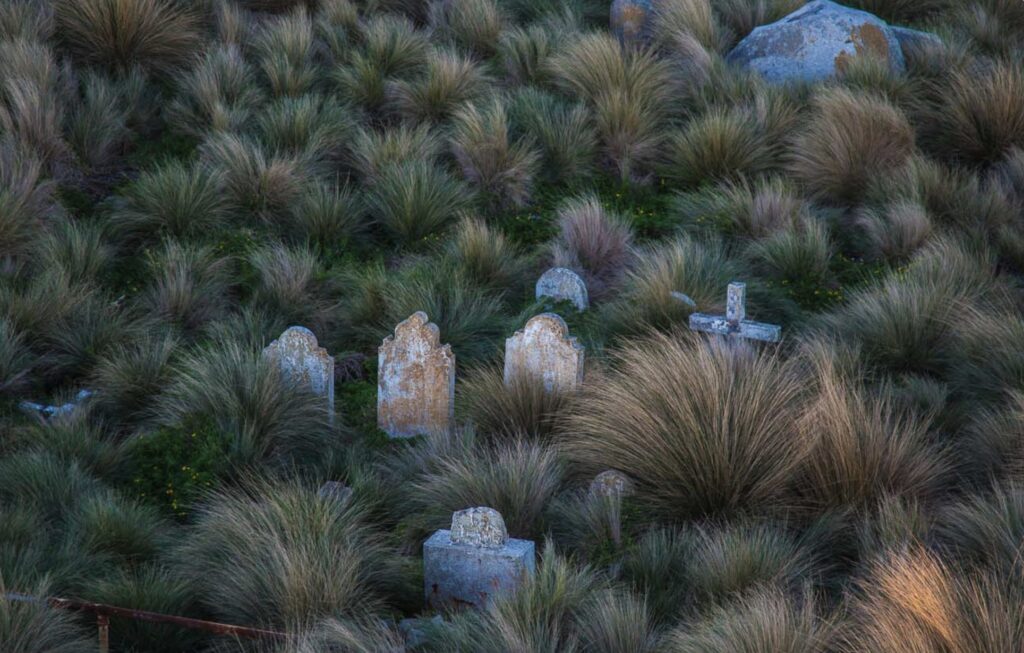
Life at the lighthouse was characterised by extreme isolation. Keepers maintained a self-sufficient lifestyle, growing vegetables, keeping livestock, and enduring severe weather conditions that frequently battered the island with winds exceeding 100 kph.
The station accumulated rich folklore over the years, including persistent stories of mysterious lights and even tales of a resident ghost. There were also a number of untimely deaths on the island including on the 29th March, 1922 when two assistant keepers rowed out to collect the mail from a passing steamer and never returned; their boat and the mail bags were later found but never the two men.

Today, Goose Island Lighthouse continues to operate as it has done for over 175 years, guiding countless vessels through one of Australia’s most challenging maritime passages.
Technical Details:
First Exhibited: 1st February, 1846
Architect: Colonial Architect Alexander Dawson
Status: Active
Location: Lat: 40° 18.7032′ S Long: 147° 48.0810′ E
Original Optic: Fixed 920mm catadioptric 8 panel with fixed mirrors.
Current Optic: Vega VBR-25
Automated: 28th November,1931
Demanned: December, 1931
Construction: Circular rubble stone tower painted white
Height: 30 m
Elevation: 36 m
Range: Nominal: 18 nml Geographical: 16 nml
Character Flashing: Fl. W (2) 10 s
Intensity: 85,336 cd
Light Source: 12v, 75w C8 Halogen LP PR30s
Power Source: Solar array
Operator: AMSA; heritage site managed by Tasmanian Parks and Wildlife Service Details:
Leave a Reply


")